

 |
 |
 |
 |
 |
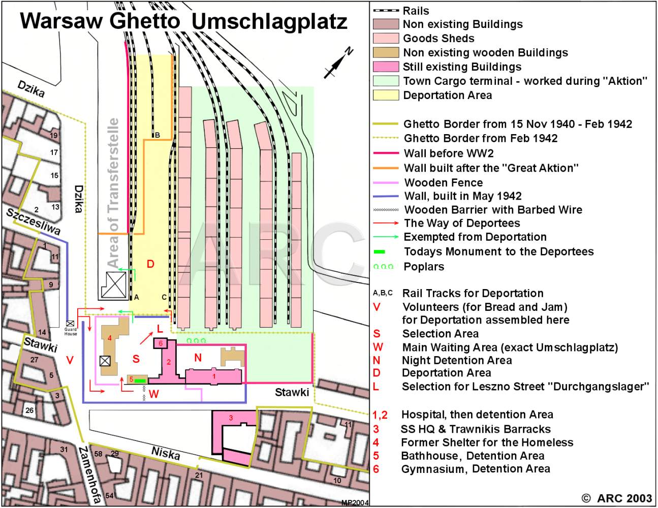 |
Umschlagplatz Map
Umschlagplatz map, showing the victims' route towards the deportation trains, type of buildings and other structures. |
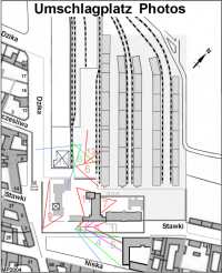 |
Interactive Map
Interactive map showing several Umschlagplatz buildings and locations. Click on the large numbers and the selected view appears. |
 |
Aerial View 1944
Aerial photo of the Umschlagplatz. Warsaw's "Danziger Bahnhof" (Danziger Station) was located approximately 1 km north of it. Both the Warsaw ghetto and the city itself was provided with goods by this trading centre, which remained operational even during the deportations. |
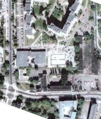 |
Aerial Comparison
Comparison of a 1944 and 2004 aerial photo. Both photos show the Umschlagplatz site. |
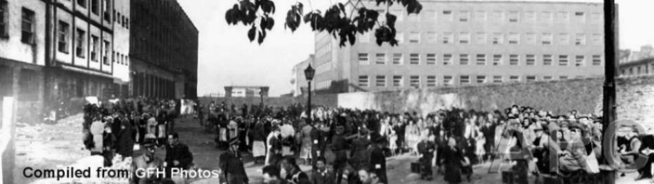 |
Panorama 1942
Panorama, compiled from GFH photos. Jewish victims assembled at the Umschlagplatz, Stawki Street. |
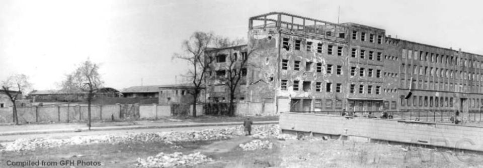 |
Panorama 1945
Panorama, compiled from GFH photos. In the background the former Jewish hospital and the goods station from where the deportationtrains left Warsaw. |